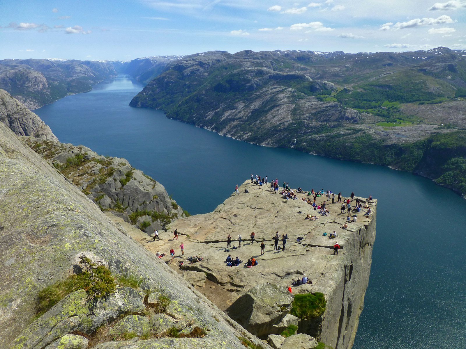
Lysefjord, Norway
Preikestolen Norway - Hiking the Pulpit Rock
Hike Preikestolen Norway (Pulpit Rock): 8 km return to 604 m above the Lysefjord. Getting there from Stavanger, trail conditions, and when to go.
Published April 12, 2026 · Last updated September 7, 2026
Map data: © OpenStreetMap contributors, tiles by OpenTopoMap (CC-BY-SA). Approximate location — verify the exact route on the official trail page before hiking.
Preikestolen - Pulpit Rock - is the kind of trail that ends up on bucket lists for a reason. The summit is a flat 25 by 25 metre slab of granite sticking out 604 metres above the Lysefjord, with no railing, no fence, and a near-vertical drop. From the moment you step out of the trees you can see ferries the size of pencils gliding underneath you.
The trail itself is shorter and friendlier than the mythology suggests: 8 km return, around 334 metres of elevation, and most healthy walkers finish it in 3 to 5 hours. The path is well-trodden, marked with red Ts on the rocks, and rebuilt in places by Sherpa stonemasons who installed proper steps where the original route was eroding.
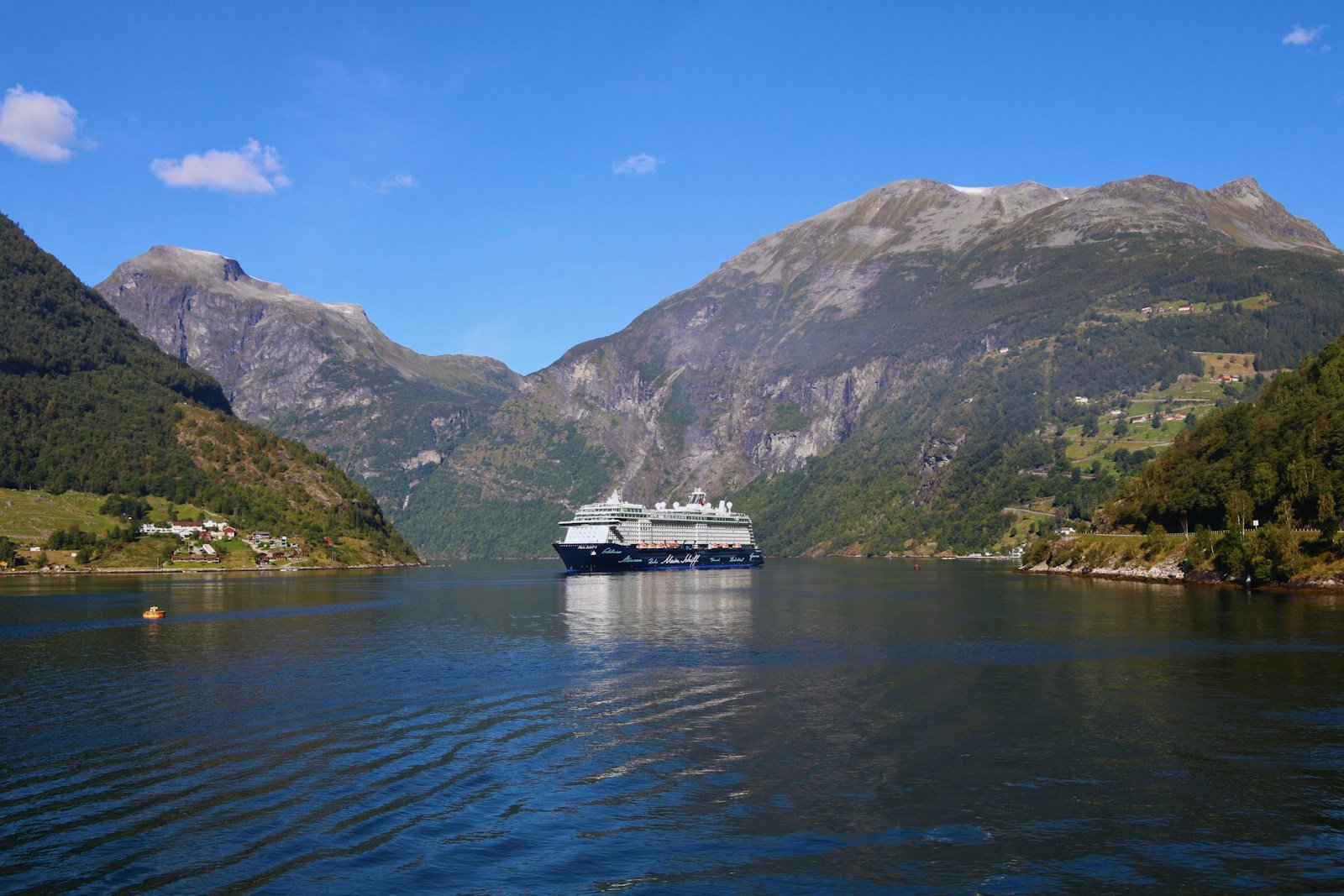
Photo: Bruna Santos on Unsplash.
When to go
The comfortable season is mid-May through October. Outside that window nothing closes, but the final cliff section can be glazed in ice, and a wrong step there has nowhere to go.
The cliff faces east, so the dramatic light comes at sunrise. Get on the first bus from Stavanger and you’ll be ahead of the day-trippers, with the rock to yourself for half an hour. From mid-July onwards that window closes: Preikestolen takes more than 300,000 hikers a year, and almost all of them arrive in June, July and August. Starting before 08:00 is the single change that most alters what the day feels like.
The cliff is reachable year-round, but November to April is a different proposition: Visit Norway’s guidance is that you need winter equipment and a guide for those months, not just warm clothes. Daylight becomes the binding constraint rather than fitness - in January you need to leave the car park by 11:00 to get back down in the light - and summit temperatures sit between -4°C and 1°C through the cold months.
With kids and dogs
Preikestolen is one of the few “iconic” Norwegian hikes that genuinely works with school-age kids. The path is wide enough for two abreast almost the whole way, the steepest sections have proper steps, and there are several flat benches with views to break the climb up. A confident 6-year-old can do it; under that age, a child carrier is a better idea than tired legs at the edge.
Dogs do fine on lead. The cliff is the obvious place to keep them close - there are no warning signs, no railings, just a flat slab and then air.
Getting there from Stavanger
No ferry is involved any more, and a lot of guides still say otherwise. Until December 2019, getting out of Stavanger meant a boat across the Horgefjord. The Ryfylke Tunnel replaced it: 14.4 km of road under the water, the longest subsea road tunnel in the world, and the reason the trailhead now sits about 50 minutes by bus from the city.
Two operators run the route, Pulpit Rock Tours and Go Fjords, and the timetable thins out quickly outside summer. Pulpit Rock Tours runs nine departures a day from late June to mid-September, six in the shoulder months, and in early spring and late autumn only two morning buses, at weekends.
Book online before you travel. You cannot buy a ticket on the bus, and the two operators do not honour each other’s tickets, so the return leg has to be with whoever brought you out.
Practical
- Start point: Preikestolen Fjellstue, the lodge at the trailhead.
- Parking: 275 NOK for a stay over two hours, 40 NOK for under two. You pay at the machine on the way out, not on arrival. P1 at the lodge holds 400 cars and P2 at Moslimyrå another 600; in peak summer both fill, and the overflow zone is a wait rather than a space.
- Water: Bring 1.5 litres per person; there’s nothing reliable on route.
- Footwear: Approach shoes or light trail shoes. The granite gets slick when wet, so micro-spikes are useless but a sticky rubber sole helps.
- Phone signal: Patchy in the forest section, fine on top.
The rock itself is a half-hour, not five minutes. Sit back from the edge with something warm in a thermos, watch a ferry come up the fjord, and try to imagine that the slab will fall off in the next 50,000 years - which is what the geologists actually predict. Until then, it’s the best granite armchair in Europe.
Common questions
Do I need to book anything?
Only the bus. The trail is free and open, there is no permit, and nobody checks anything at the trailhead. Parking is paid on the way out.
Is the edge as dangerous as it looks?
The slab is flat and much bigger than photographs suggest. The real risk is behavioural: wind gusts, wet rock, and people stepping backwards to fit the drop into a picture. Nothing is fenced, and you are expected to manage that yourself.
How early is early enough?
Before 08:00 in July and August. By mid-morning the trail is a queue in the narrow sections and the summit slab has a line for the edge photo.
What if the forecast says fog?
Go anyway if you have the day to spare. Fog on the Lysefjord moves around and often lifts by late morning. Heavy rain is the one to skip: the polished granite on the last stretch is genuinely slippery wet.
Claude AI helped me with phrasing and proofreading in this article.
Sources: Preikestolen 365, the trailhead operator, for parking rates and bus timetables; Visit Norway for visitor numbers and the winter guiding advice.
Keep reading
- The best time to hike in Norway - month-by-month conditions, including Preikestolen’s specific season window
- Allemannsretten - Norway’s right to roam, including how to wild-camp legally near the Preikestolen trailhead
- DNT cabin system - the hut network if you want to extend the trip beyond a day-hike
- Hiking in Norway: the complete guide - the hub for every Norway article on this site